
Your School OS Bee-Bot® Mat – Ordnance Survey
Original price was: £94.24.£62.24Current price is: £62.24.
Helping to Support Teaching and Learning
-
Early Map Skills
-
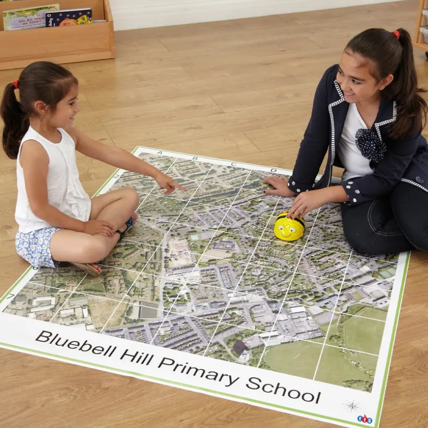
Bee Fun way to teach early map reading skills. Direct Bee-Bot® around the map to enhance children’s understanding of geography.
-
Spatial Awareness
-
Engaging and practical way to develop children’s spatial awareness. Navigate and understand surroundings with the detailed map.
-
Identify Landmarks
-
Encourage children to identify familiar landmarks, streets, and natural features. This activity promotes recognition and memory skills.
-
Interactive Learning
-
Support interactive history lessons and geography teaching tools with the mat, making learning more engaging and hands-on.
-
Geographical Skills
-
Supports Key Stage 2 geographical skills and fieldwork. Enhance children’s knowledge using maps, compasses, and grid references.
Your School OS Bee Bot Mat – Ordnance Survey
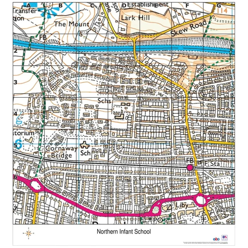
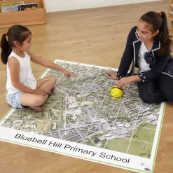
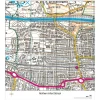
A highly detailed (1:10,000 scale) Ordnance Survey map covering 2km² of your local area.
Overview
-
Combine early map reading skills with control and directional language by directing Bee-Bot®. Hard-wearing vinyl with corner eyelets.
-
Enhance learning with this detailed (1:10,000 scale) Ordnance Survey map mat. Covering two square kilometres of your local area, it’s perfect for geography lessons. Made from durable vinyl, it includes corner eyelets for easy display. This interactive tool helps children develop spatial awareness and understand their local environment with Bee-Bot®.
-
Supporting the UK curriculum, the mat aids in teaching geographical skills and fieldwork at Key Stage 2. Children can locate countries, describe features, and learn compass points, grid references, symbols, and keys using Ordnance Survey maps.
-
Suitable for use on the floor, desk, or wall, the mat helps observe, measure, record, and present local human and physical features using sketch maps, plans, graphs, and digital technologies. Note: This bespoke product is non-refundable and non-returnable.
Supports the National Curriculum
Geography, Key Stage 2, Geographical Skills & Fieldwork
Use maps, atlases, globes and digital/computer mapping to locate countries and describe features studied.
Geography, Key Stage 2, Geographical Skills & Fieldwork
Use the 8 points of a compass, 4- and 6-figure grid references, symbols and key (including the use of Ordnance Survey maps) to build their knowledge of the United Kingdom and the wider world.
Geography, Key Stage 2, Geographical Skills & Fieldwork
Use fieldwork to observe, measure record and present the human and physical features in the local area using a range of methods, including sketch maps, plans and graphs, and digital technologies.
Download free teaching materials
Product Information
Be the first to review “Your School OS Bee-Bot® Mat – Ordnance Survey”
Related products
Art, Craft & Design
Art, Craft & Design
Art, Craft & Design
Art, Craft & Design
Art, Craft & Design
Art, Craft & Design
Art, Craft & Design

Art & Craft
Art, Craft & Design
Art, Craft & Design
Art, Craft & Design
Art & Craft
Art, Craft & Design
Reviews
There are no reviews yet.