
TTS World Landmarks Map Signboards W0.45 x L0.8m
£21.20
Helping to Support Teaching and Learning
-
Geographic Learning
-
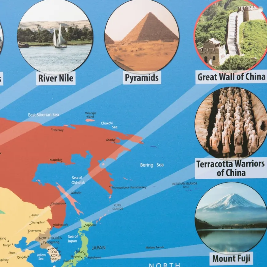
This map features the seven modern wonders of the world, continents, and countries, enhancing geographic learning and supporting children in developing their geographical knowledge and skills.
-
Interactive Gridlines
-
This map with alphanumeric gridlines is ideal for interactive use with Bee-Bot and Blue-Bot, enhancing spatial awareness and navigation skills through basic coordinate work.
-
Durable Material
-
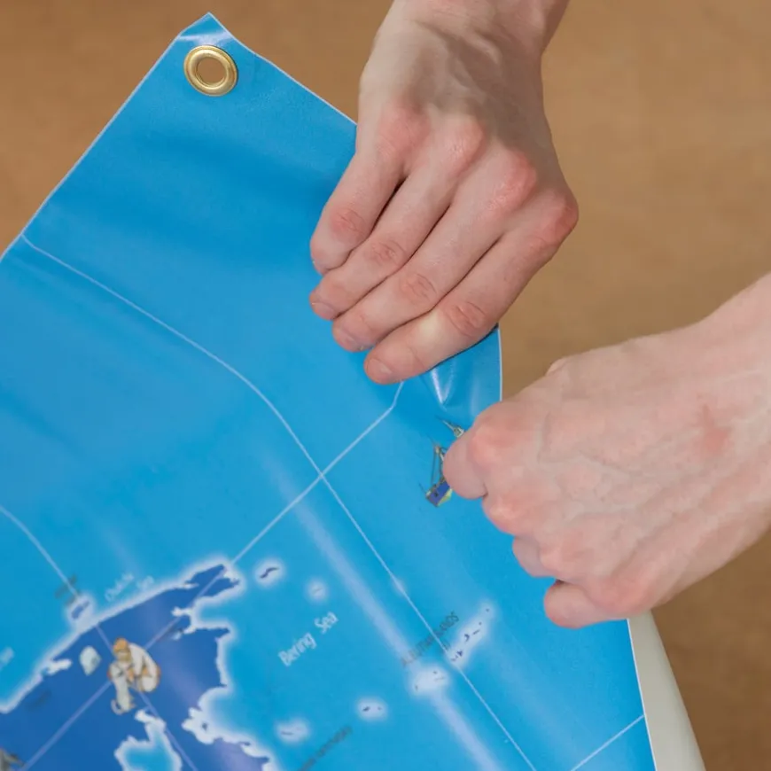
Constructed from a laminated material, this map offers a robust option for frequent interaction in educational settings, suited for hands-on activities.
-
Visual Engagement
-
The detailed representation of iconic landmarks and geographical features captures children’s attention and fosters engagement and curiosity about the world.
-
Curriculum Support
-
This map teaches locational knowledge, place knowledge, and geographical skills and fieldwork, aligning with the Key Stage 1 and 2 geography curriculum.
TTS World Landmarks Map Signboards W0.45 x L0.8m
A detailed map showcasing global landmarks and geographic features to boost educational engagement.
Overview
-
Features alphanumeric gridlines for coordinate work and compatibility with educational robots like Bee-Bot and Blue-Bot.
-
The World Landmarks map is a great resource for teaching Key Stage 1 and 2 geography. It vividly outlines continents, countries, and the seven modern wonders of the world, aiding students in developing a comprehensive understanding of the globe.
-
It is particularly useful for practice in locational knowledge and geographical skills as stated in the national curriculum. Children can engage with interactive tasks such as finding coordinates or exploring different countries using tools like Bee-Bot and Blue-Bot.
-
The map is supplied in two parts and is constructed from durable, laminated materials making it suitable for regular classroom use. Its visually engaging content captures the attention of children, encouraging questions and exploration, which is fundamental in cultivating an informed interest in geography.
Supports the National Curriculum
Geography, Key Stage 2, Geographical Skills & Fieldwork
Use maps, atlases, globes and digital/computer mapping to locate countries and describe features studied.
Geography, Key Stage 2, Place Knowledge
Understand geographical similarities and differences through the study of human and physical geography of a region of the United Kingdom, a region in a European country and North or South America.
Geography, Key Stage 2, Locational Knowledge
Locate the world’s countries, using maps to focus on Europe concentrating on their environmental regions, key physical and human characteristics, countries, and major cities.
Product Information
Overview
-
Suitable for age 5 years and up
-
Vinyl
Age Range
Material
Sizes and Measurements
-
0.8 m
-
0.45 m
-
W0.45 x L0.8m
Length
Width
Dimensions
Be the first to review “TTS World Landmarks Map Signboards W0.45 x L0.8m”
Related products


Early Years
Book Storage


Construction


Festivals & Celebrations

Art & Craft


Communication, Language & Literacy
Early Years

Festivals & Celebrations

Early Years

Festivals & Celebrations
Boxes & Containers
Boxes & Containers


Babies & Toddlers


Babies & Toddlers


Festivals & Celebrations
Reviews
There are no reviews yet.