
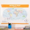
TTS Map of the World Political and Physical A1 KS2
Original price was: £12.16.£9.87Current price is: £9.87.
Helping to Support Teaching and Learning
-
Double-Sided
-
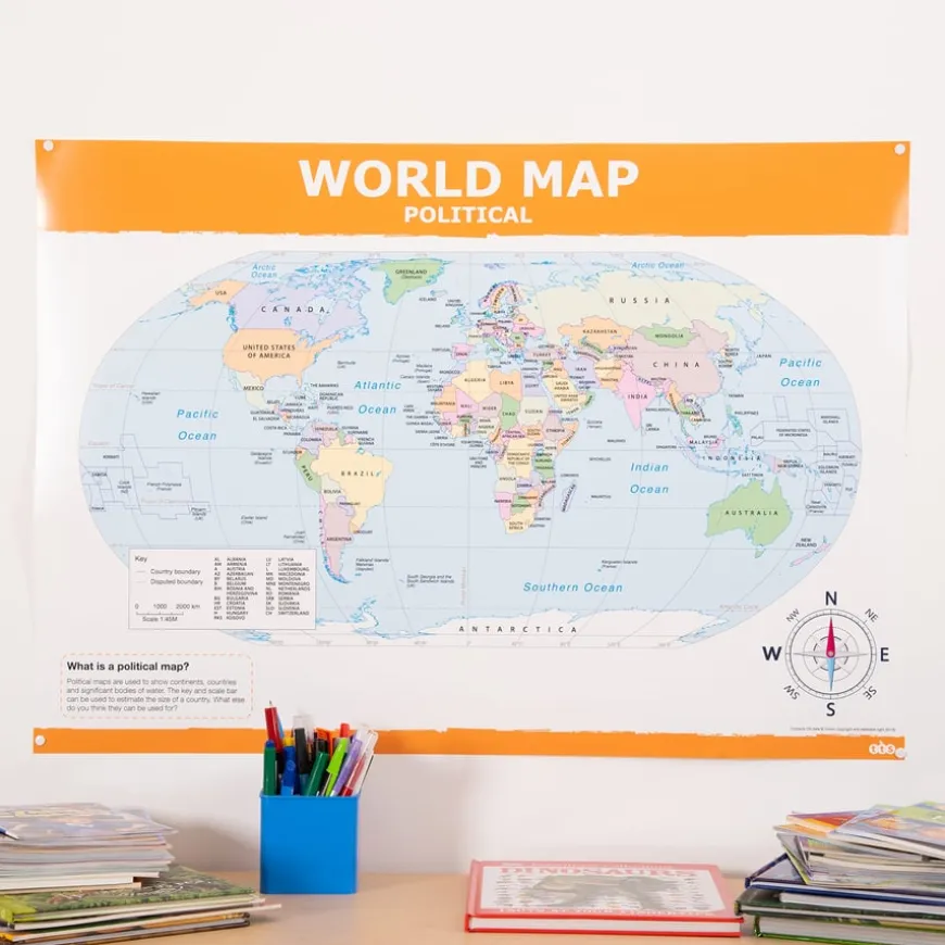
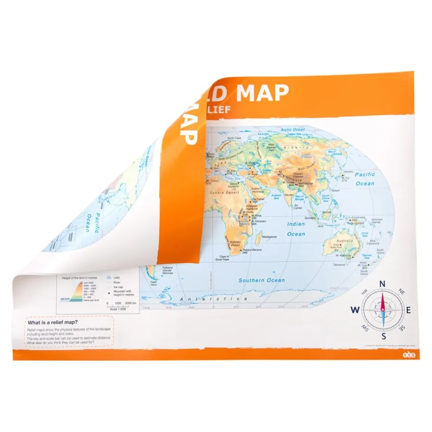
This double-sided map features both political and physical/relief views, offering comprehensive geographical information in one convenient resource.
-
Clear Cartography
-
The map offers clear, up-to-date cartography, accurately representing countries, boundaries, and significant geographical features.
-
Locator Map Included
-
Includes a locator map, key, and scale bar, which helps children understand and interpret geographical data more easily.
-
Supports Learning
-
Helps children understand geographical similarities and differences by studying human and physical geography across various regions.
-
Geographical Skills
-
Encourage using maps, atlases, globes, and digital/computer mapping to locate countries and describe studied features, supporting Key Stage 2 geographical skills.
TTS Map of the World Political and Physical A1 KS2
Double-sided map with political and physical/relief views suitable for Key Stage 2 geography.
Overview
-
One side shows a political map of the world. The reverse side displays a physical/relief map with land height and rivers.
-
This double-sided map enhances geography lessons for Key Stage 2 children. One side presents a political map, detailing country boundaries and place names, while the other side features a physical/relief map displaying land height and major rivers.
-
This resource supports children in locating counties, cities, and geographical regions in the UK and beyond, enriching their understanding of both human and physical geography. It also helps describe key aspects of physical geography, including types of settlement and land use, economic activity, and the distribution of natural resources.
-
Teachers can use this map to foster skills in using maps, atlases, globes, and digital/computer mapping to locate countries and describe features studied. The included locator map, key, and scale bar facilitate a comprehensive learning experience, making it easier for children to understand and interpret geographical data.
Supports the National Curriculum
Geography, Key Stage 2, Place Knowledge
Understand geographical similarities and differences through the study of human and physical geography of a region of the United Kingdom, a region in a European country and North or South America.
Geography, Key Stage 2, Locational Knowledge
Name and locate counties and cities of the United Kingdom, geographical regions and their human and physical characteristics, key topographical features and land-use patterns and changes over time.
Geography, Key Stage 2, Locational Knowledge
Locate the world’s countries, using maps to focus on Europe concentrating on their environmental regions, key physical and human characteristics, countries, and major cities.
Product Information
Overview
-
Laminate
Material
Sizes and Measurements
-
A1
Generic Size
Be the first to review “TTS Map of the World Political and Physical A1 KS2”
Related products
Boxes & Containers


Festivals & Celebrations
Early Years

Early Years
Book Storage

Book & Reading


Early Years


Pe & Outdoor
Festivals & Celebrations


Babies & Toddlers

Early Years


Festivals & Celebrations


Babies & Toddlers


Babies & Toddlers
Exercise Books


Art & Craft
Reviews
There are no reviews yet.