
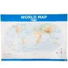
TTS Map of the World Political and Physical A1 KS1
Original price was: £12.92.£9.87Current price is: £9.87.
Helping to Support Teaching and Learning
-
Double-Sided
-
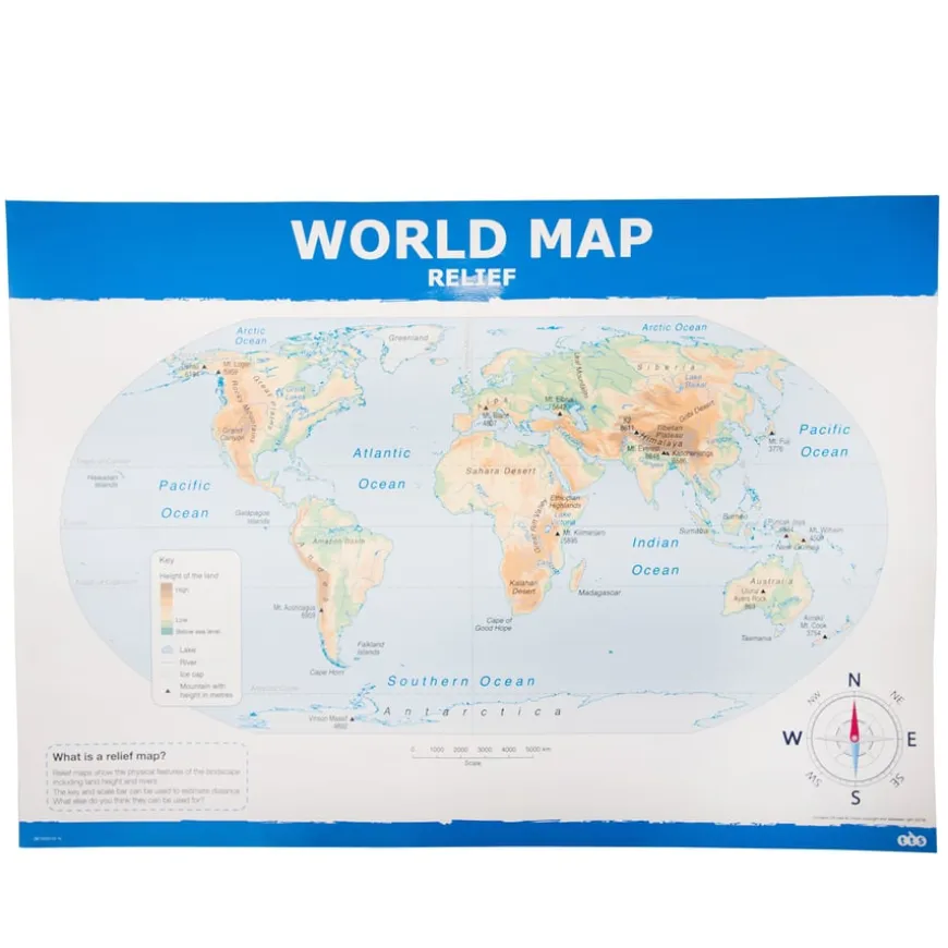
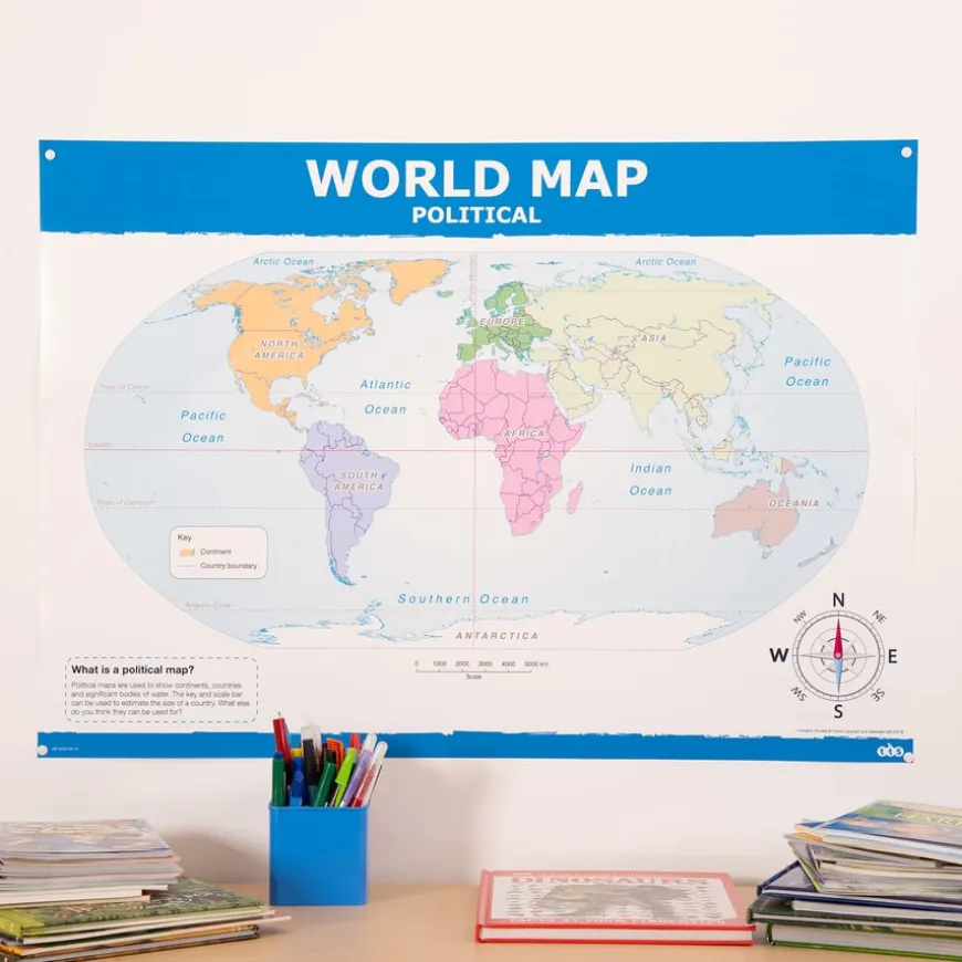
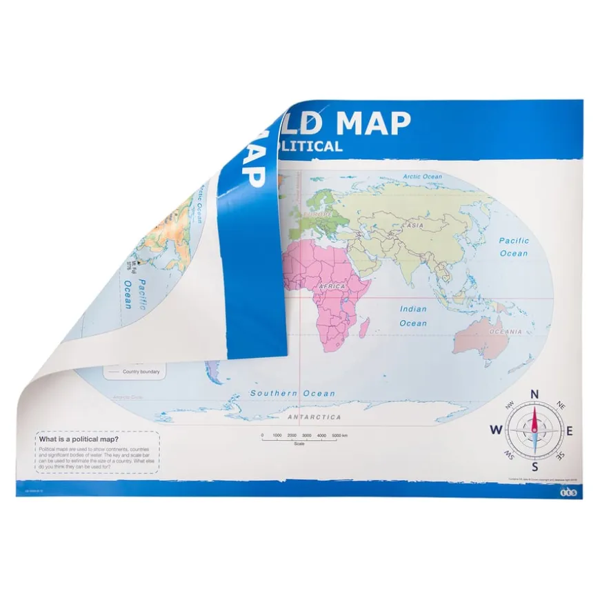
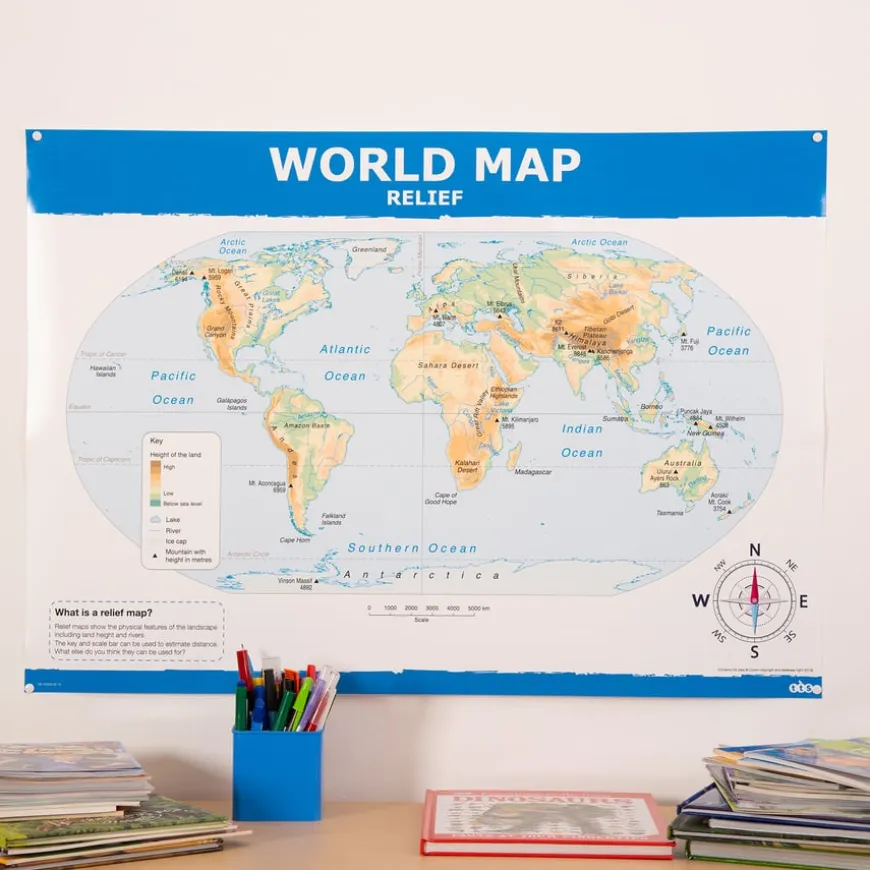
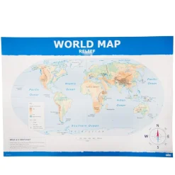
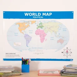
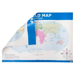
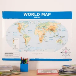
This map enhances learning opportunities with its versatility, featuring a double-sided design with one side showing a political map and the other a physical/relief map.
-
Clear Cartography
-
It’s important for children to understand and learn geography; this map offers clear, up-to-date cartography with colour-coded continents and country outlines to facilitate that.
-
Locator Map Included
-
Providing essential tools for teaching map skills and enhancing geographical understanding, this map of the world KS1 includes a locator map, key, and scale bar.
-
Supports Geographical Skills
-
Supports Key Stage 1 geographical skills by helping children use world maps, atlases, and globes to identify the United Kingdom and its countries.
TTS Map of the World Political and Phystical A1 KS1
A double-sided, high-quality world map with political and physical cartography for Key Stage 1.
Overview
-
The political map has clear, simple cartography showing colour-coded continents and country outlines.
-
This double-sided world map is specifically designed for Key Stage 1, featuring high-quality cartography to support geographical skills. One side displays a political map with colour-coded continents and country outlines, while the reverse side shows a physical/relief map with land height and major rivers.
-
The map supports Key Stage 1 geography by helping children use world maps, atlases, and globes to recognise the United Kingdom and its countries, as well as other countries, continents, and oceans. It includes a locator map, key, and scale bar to facilitate understanding.
-
Constructed from laminate, this A1-sized map is built for repeated use. It supports the curriculum’s aim of recognising landmarks and basic human and physical features, aiding in both geographical skills and locational knowledge.
Supports the National Curriculum
Geography, Key Stage 1, Geographical Skills & Fieldwork
Use aerial photographs and plan perspectives to recognise landmarks and basic human and physical features, devise a simple map and use and construct basic symbols in a key.
Geography, Key Stage 1, Geographical Skills & Fieldwork
Use simple compass directions and locational and directional language, to describe the location of features and routes on a map.
Geography, Key Stage 1, Geographical Skills & Fieldwork
Use world maps, atlases and globes to identify the United Kingdom and its countries, as well as the countries, continents and oceans studied at this key stage.
Product Information
Overview
-
Laminate
Material
Sizes and Measurements
-
A1
Generic Size
Be the first to review “TTS Map of the World Political and Physical A1 KS1”
Related products


Pe & Outdoor
Early Years

Early Years
Early Years

Babies & Toddlers

Early Years


Festivals & Celebrations
Boxes & Containers
Festivals & Celebrations

Art & Craft


Babies & Toddlers


Communication, Language & Literacy
Pe & Outdoor


Festivals & Celebrations


Art & Craft
Boxes & Containers
Reviews
There are no reviews yet.