
Philip’s Infant School Atlas KS1
£9.87
Helping to Support Teaching and Learning
-
Child-Friendly Maps
-
Features clear, accessible maps specifically designed for children, making it easier for them to understand and engage with geographical concepts.
-
Real-World Linking
-
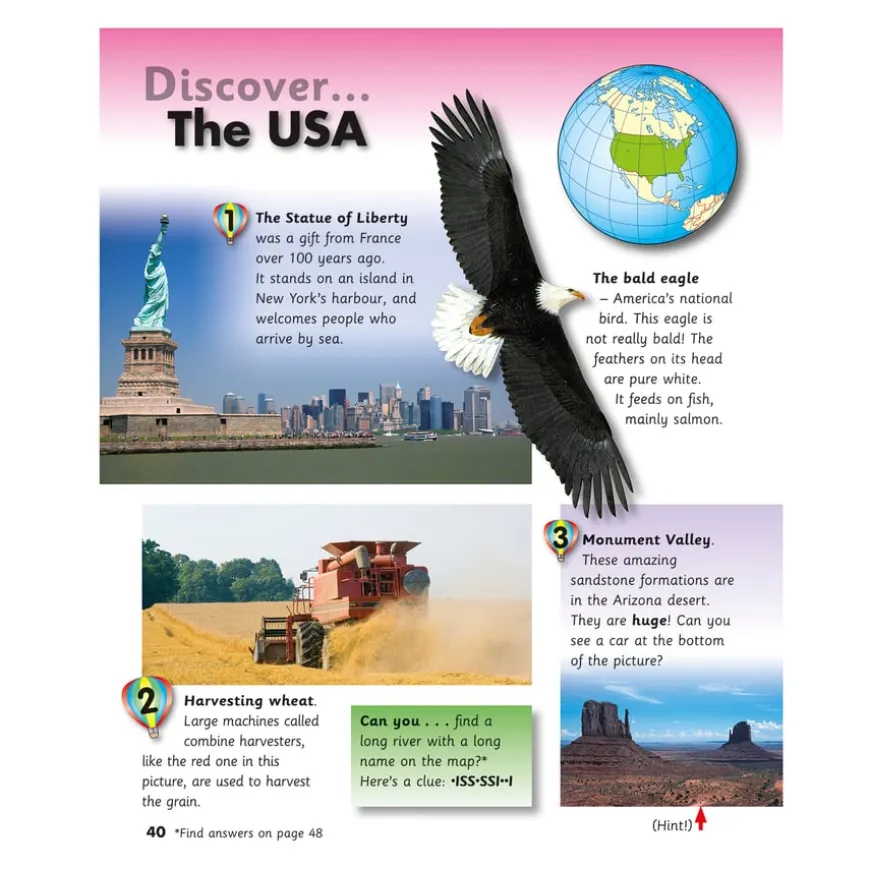
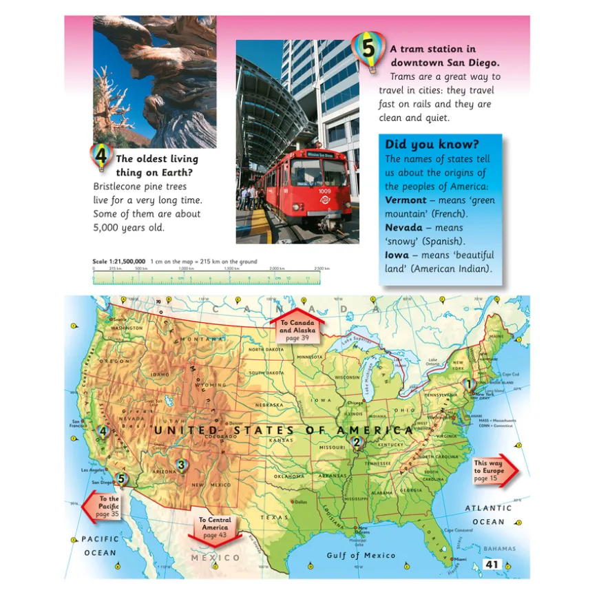
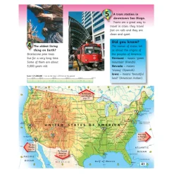
‘Balloons’ visually connect photographs of real places to maps, enhancing children’s ability to relate geographic information to the real world.
-
Map Skills Development
-
Encourages the acquisition of map reading skills and a deeper understanding of the world, laying a strong foundation for future geographical learning.
-
Comprehensive Content
-
Combines photographs, facts, and quizzes with maps for a multifaceted approach to geography, stimulating curiosity and knowledge.
-
Curriculum Support
-
Aligns with Key Stage 1 Geography curriculum, aiding in the teaching of geographical skills and fieldwork through practical map use.
Philip’s Infant School Atlas KS1
A foundational school atlas designed to foster map skills and geographical knowledge.
Overview
-
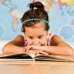
This atlas combines clear maps and engaging photographs with quizzes to bridge geographical knowledge with real-world places.
-
Facilitating early geographical discovery, this atlas employs clear, child-friendly maps meshed with fascinating photographs to bring the world into the classroom. It’s an effective tool in making geography relatable and engaging for young minds by connecting maps to real global locations and cultures.
-
Aligned with the Key Stage 1 Geography curriculum, the atlas emphasises geographical skills and fieldwork. It encourages the utilisation of world maps, atlases, and globes for identifying geographical features. Such activities are instrumental in enhancing spatial awareness and understanding of children about their world.
-
Supporting curriculum objectives further, this resource aids in developing map-reading skills through an introduction to basic symbols and their uses. It offers a practical approach towards recognising landmarks and creating simple maps, providing a foundation for geographical knowledge and exploration.
Supports the National Curriculum
Geography, Key Stage 1, Geographical Skills & Fieldwork
Use world maps, atlases and globes to identify the United Kingdom and its countries, as well as the countries, continents and oceans studied at this key stage.
Geography, Key Stage 1, Geographical Skills & Fieldwork
Use aerial photographs and plan perspectives to recognise landmarks and basic human and physical features, devise a simple map and use and construct basic symbols in a key.
Geography, Key Stage 1, Locational Knowledge
Name and locate the world’s 7 continents and 5 oceans.
Product Information
| Pack Size | 1, 15, 6 |
|---|
Be the first to review “Philip’s Infant School Atlas KS1”
Related products
Boxes & Containers
Boxes & Containers
Festivals & Celebrations
Exercise Books
Babies & Toddlers
Early Years

Babies & Toddlers
Festivals & Celebrations
Early Years

Pe & Outdoor
Pe & Outdoor

Babies & Toddlers
Construction

Art & Craft
Book Storage
Reviews
There are no reviews yet.