
Oxford Primary Atlas KS2 15pk
Original price was: £183.92.£101.07Current price is: £101.07.
Helping to Support Teaching and Learning
-
Accurate Geographical Learning
-
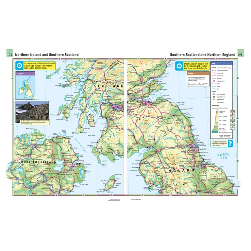
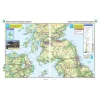
This atlas, with its precise maps and country data files, stands as a cornerstone for teaching geography. The inclusion of colour photographs enriches the learning experience.
-
Curriculum Support
-
Aligned with Key Stage 2 Geography curriculum, focusing on ‘Geographical skills and fieldwork’ and ‘Locational knowledge’, it’s an essential educational resource.
-
Engaging Content
-
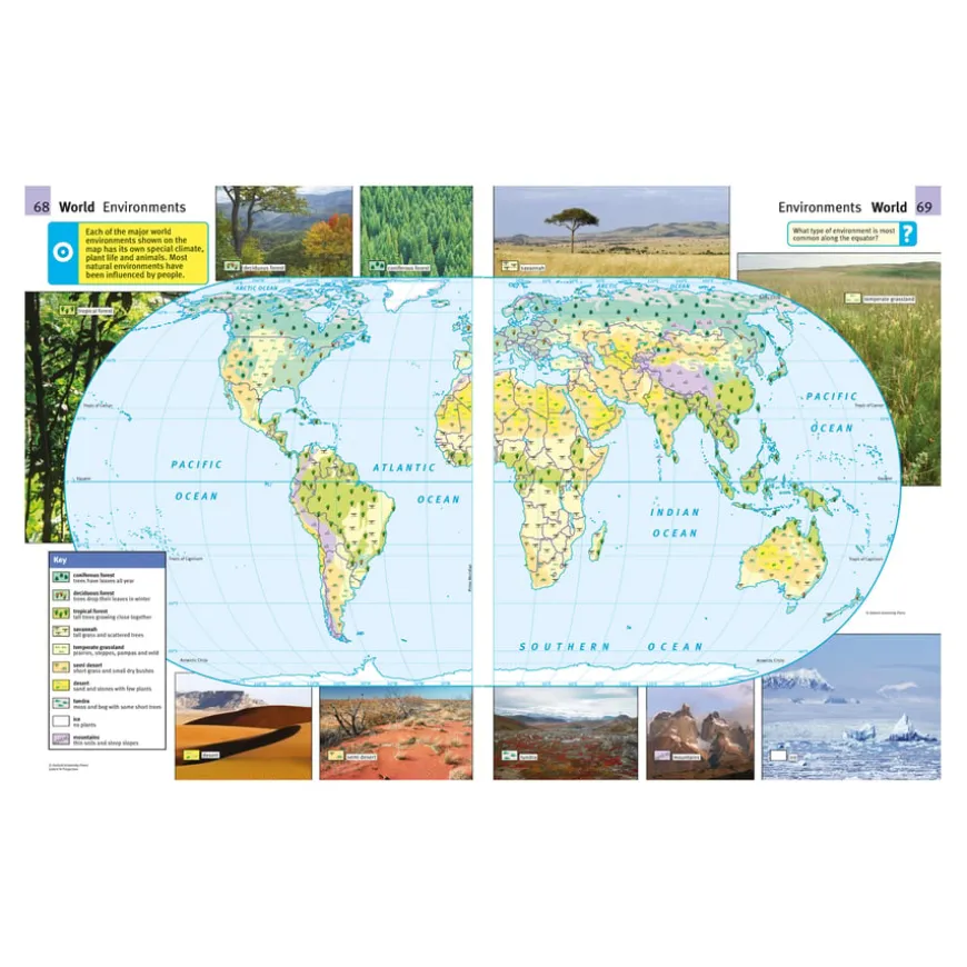
The atlas presents information in a clear, colourful layout, making it engaging for children. It encourages exploration of mountains, settlements, and environments.
-
Durable Design
-
Designed for educational durability, this 72-page atlas ensures robustness for daily classroom usage, combining functionality with the educational needs of Key Stage 2 geography.
-
Map Reading Skills
-
Supports the development of map reading skills, enabling children to use maps, atlases, and digital mapping effectively to locate countries and describe features.
Oxford Primary Atlas KS2 15pk
Specially designed to include key curriculum themes such as mountains, settlements and environments.
Overview
-
Accurate maps are presented in a clear and colourful layout. Country data files and colour photographs are also included.
-
The Oxford Primary Atlas KS2 enriches Key Stage 2 learning by aligning with ‘Geographical skills and fieldwork’ and ‘Locational knowledge’ topics within the Geography curriculum. It comprises 72 pages of extensive maps, country data files, and vibrant photographs, focusing on diverse global regions, their environmental features, and pivotal physical and human characteristics.
-
The atlas is engineered to simplify geographical explorations for children, aiding them in locating countries and understanding the world’s complex environments through detailed, colourful maps. It serves as an invaluable tool for teachers, facilitating an interactive learning environment that fosters geographical curiosity.
-
Designed explicitly for classroom use, this atlas supports the development of map reading and navigational skills. It empowers students to engage with digital and traditional mapping resources efficiently, making geography both accessible and engaging for young learners.
Supports the National Curriculum
Geography, Key Stage 2, Geographical Skills & Fieldwork
Use maps, atlases, globes and digital/computer mapping to locate countries and describe features studied.
Geography, Key Stage 2, Locational Knowledge
Locate the world’s countries, using maps to focus on Europe concentrating on their environmental regions, key physical and human characteristics, countries, and major cities.
Product Information
Overview
-
Suitable for age 7 years and up
-
15
Age Range
Pack Size
Be the first to review “Oxford Primary Atlas KS2 15pk”
Related products


Art & Craft


Art, Craft & Design


Art, Craft & Design
Exercise Books

Art, Craft & Design


Art & Craft
Art, Craft & Design


Art, Craft & Design


Art, Craft & Design

Art, Craft & Design
Art, Craft & Design

Art & Craft

Art, Craft & Design

Art & Craft
Reviews
There are no reviews yet.