
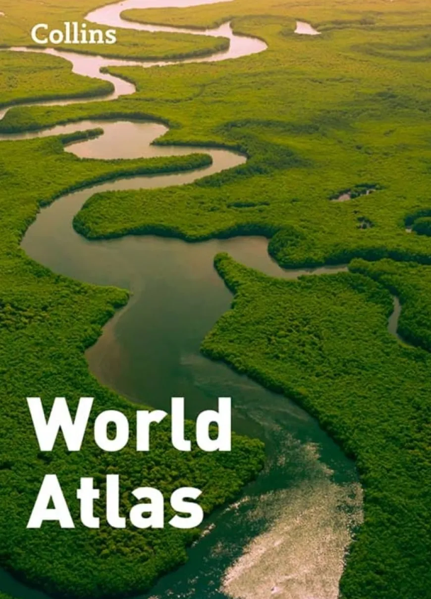
Collins World Atlas Paperback Edition
£6.00
Helping to Support Teaching and Learning
-
Detailed Reference Maps
-
This atlas features a comprehensive collection of maps detailing global countries and physical geography, aiding in geographical learning.
-
Country Facts Included
-
Includes a variety of country information such as flags, area, population, capitals, languages, religions, and currencies.
-
Time Zone Mapping
-
Features a practical map detailing the world’s time zones, an invaluable tool for geography lessons.
-
Educational Alignment
-
Aligns with Key Stage 1 and 2 UK curriculums, supporting geographical skills and locational knowledge through detailed mapping.
-
Skills Development
-
Supports the UK curriculum by aiding children in utilising maps, atlases, and globes to identify and describe geographical features.
Collins World Atlas Paperback Edition
A comprehensive world atlas with detailed maps and extensive country data.
Overview
-
Facilitates a deeper understanding of geography through detailed maps and essential country statistics.
-
This Collins Atlas is designed as an inclusive geographical resource with comprehensive maps of the world, including detailed representations of countries and significant physical features. It effectively supports the geography curriculum at Key Stage 1, enabling children to use atlases to identify the UK, its countries, and major global bodies.
-
At Key Stage 2, the atlas enhances understanding of locational knowledge, presenting detailed maps that illustrate important geographical lines and time zones. It also introduces practical navigation skills like using compass points and understanding grid references, vital for exploring Ordnance Survey maps.
-
Moreover, this edition provides essential data on various countries including flags, area, population, and capital cities, tailored to enrich students’ global perspective and geographical vocabulary.
Supports the National Curriculum
Geography, Key Stage 2, Geographical Skills & Fieldwork
Use maps, atlases, globes and digital/computer mapping to locate countries and describe features studied.
Geography, Key Stage 1, Geographical Skills & Fieldwork
Use world maps, atlases and globes to identify the United Kingdom and its countries, as well as the countries, continents and oceans studied at this key stage.
Geography, Key Stage 2, Locational Knowledge
Identify the position and significance of latitude, longitude, Equator, Northern and Southern Hemisphere, Tropics of Cancer and Capricorn, Arctic, Antarctic Circle, Greenwich Meridian and time zones.
Product Information
Overview
-
64
-
1
Number of Pages
Pack Size
Be the first to review “Collins World Atlas Paperback Edition”
Related products


Art & Craft


Art, Craft & Design
Art, Craft & Design


Art, Craft & Design

Art, Craft & Design
Art, Craft & Design


Art, Craft & Design
Exercise Books
Art, Craft & Design
Art, Craft & Design

Art, Craft & Design


Art, Craft & Design
Art, Craft & Design

Art, Craft & Design
Reviews
There are no reviews yet.