
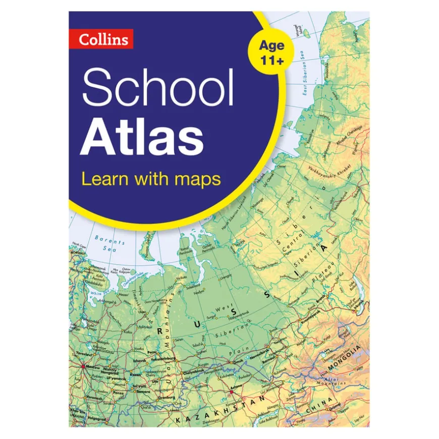
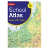
Collins School Atlas KS3
Original price was: £12.16.£9.11Current price is: £9.11.
Helping to Support Teaching and Learning
-
Key Stage 3 Geography
-
This atlas is specifically designed for Key Stage 3 geography, aligning with curriculum topics on geographical skills and fieldwork.
-
Focus Country Studies
-
Includes focus country studies that provide insights into contrasting regions and special topics, aiding comprehensive understanding in geography.
-
Map and Atlas Skills
-
The atlas includes a section dedicated to developing map and atlas skills, focusing on practical application in both classroom and field settings.
-
Global Issues Coverage
-
Covers global issues stipulated by the National Curriculum including climate change and geological phenomena, enhancing students’ understanding of key geographic concepts.
Collins School Atlas KS3
School atlases designed to enhance map, atlas, and data handling skills for secondary aged pupils.
Overview
-
The ‘map and atlas skills’ section is followed by clear, accessible reference maps presented with locator maps, fact boxes and flags.
-
This school atlas serves as a comprehensive reference to support students in developing map, atlas, and data handling skills. It includes reference maps paired with locator maps, fact boxes, and flags for easier understanding.
-
The product is geared towards enhancing students’ abilities to interpret Ordnance Survey maps, thematic maps, and aerial and satellite photographs, conforming with Key Stage 3 geographical skills requirements.
-
It also includes focused country studies that help students understand contrasting regions and special topics in this school atlas, emphasising the practical application of taught geographical topics.
Supports the National Curriculum
Geography, Key Stage 3, Geographical Skills & Fieldwork
Build on their knowledge of globes, maps and atlases, and apply and develop this knowledge routinely in the classroom and in the field.
Geography, Key Stage 3, Geographical Skills & Fieldwork
Interpret Ordnance Survey maps in the classroom and the field, including using grid references and scale, topographical and other thematic mapping, and aerial and satellite photographs.
Geography, Key Stage 3, Locational Knowledge
Extend their locational knowledge and deepen their spatial awareness of the world’s countries, using maps of the world to focus on Africa, Russia, Asia (China and India), and the Middle East.
Product Information
Overview
-
104
-
1
Number of Pages
Pack Size
Be the first to review “Collins School Atlas KS3”
Related products


Art, Craft & Design

Art, Craft & Design

Art, Craft & Design


Art, Craft & Design
Exercise Books

Art & Craft
Art & Craft

Art, Craft & Design


Art, Craft & Design

Art, Craft & Design
Art, Craft & Design
Art, Craft & Design

Art, Craft & Design
Reviews
There are no reviews yet.