


Collins Junior World Atlases KS2
£9.11
Helping to Support Teaching and Learning
-
Engaging Reference Mapping
-
Featuring clear and accessible reference mapping complemented by additional photographs, this atlas is designed to make geography engaging and understandable.
-
Global Coverage
-
This atlas includes comprehensive coverage of the UK, Europe, the world, and continents, presented in a user-friendly paperback format.
-
Rich Content
-
With 80 pages of rich content, this atlas provides extensive material for in-depth geographic exploration and learning.
Collins Junior World Atlases KS2
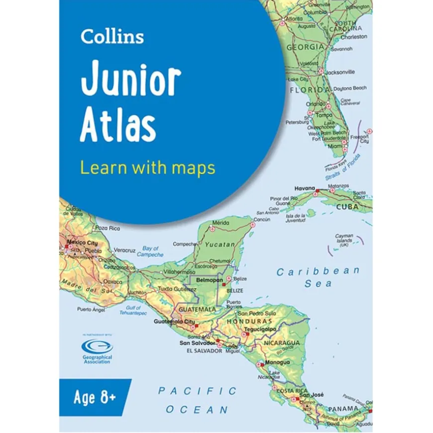
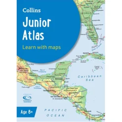
A topographical world atlas designed for KS2 geography.
Overview
-
Facilitates learning about the world through clear maps, satellite imagery, and key geographical facts.
-
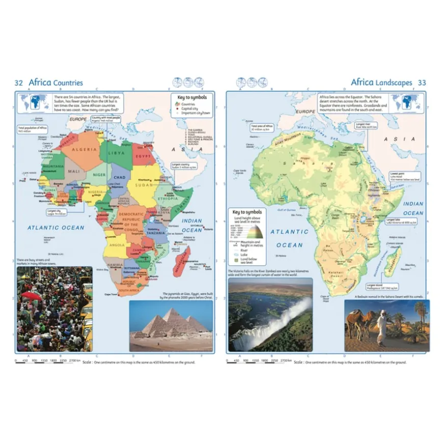
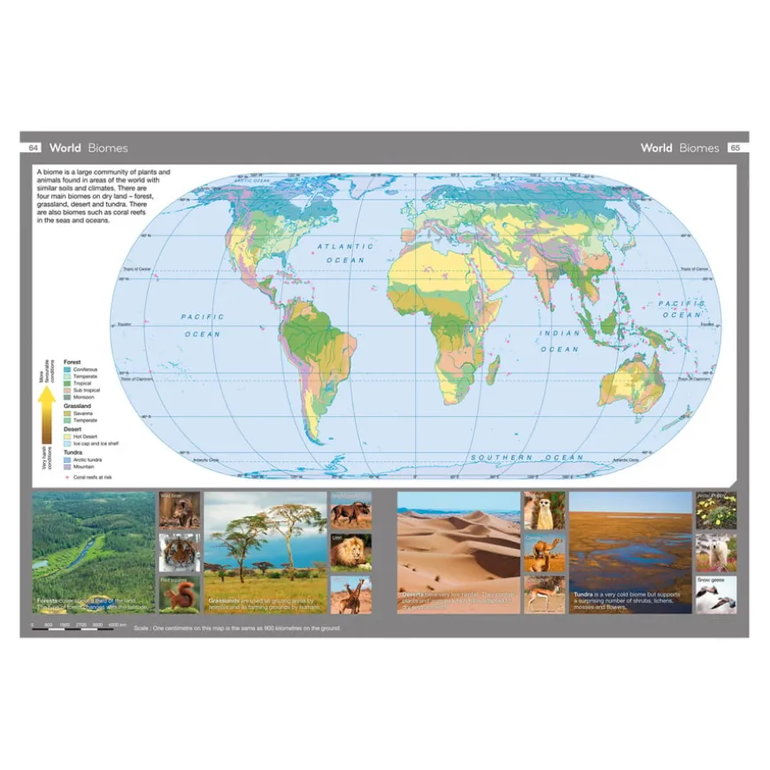
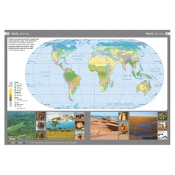
Enhance geography lessons with this atlas, tailored for children aged 8 years and up. It offers a comprehensive exploration of the world through topographical maps, aiding in the understanding of earth’s landscape formation processes. Supported by photographs and data files, each map includes detailed keys and scale information, making it an invaluable resource for engaging and informative geography sessions.
-
The atlas covers the UK, Europe, the World, and continents, providing a global perspective that supports the curriculum. Its paperback format and 80 pages of content make it accessible and easy to use. Beyond its educational value, the atlas encourages independent learning and critical thinking.
Product Information
| Pack Size | 1, 15 |
|---|
Be the first to review “Collins Junior World Atlases KS2”
Related products
Art & Craft


Art, Craft & Design

Art, Craft & Design
Art, Craft & Design
Art & Craft
Art, Craft & Design
Art, Craft & Design

Art, Craft & Design

Art & Craft
Exercise Books

Art, Craft & Design
Art, Craft & Design
Art, Craft & Design
Art, Craft & Design
Art, Craft & Design
Reviews
There are no reviews yet.